 | |
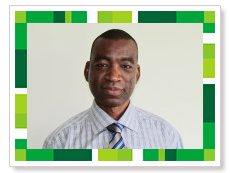
Mr Musonda is a GIS/Mapping specialist with experience in cadastral surveying. He was involved in the introductory Geomatics Modules to give an overview of what to expect in the Land Surveying Programme.
He previously worked for KwaZulu-Natal Nature Conservation Board in establishing the GIS for the Maloti Drakesberg Transfrontier and Development Project from March 2003 until May 2007.
He has also worked as lecturer for over 4 years lecturing to undergraduate students and tailor-made short courses in GIS and Land Surveying to Government institutions in Zambia. |